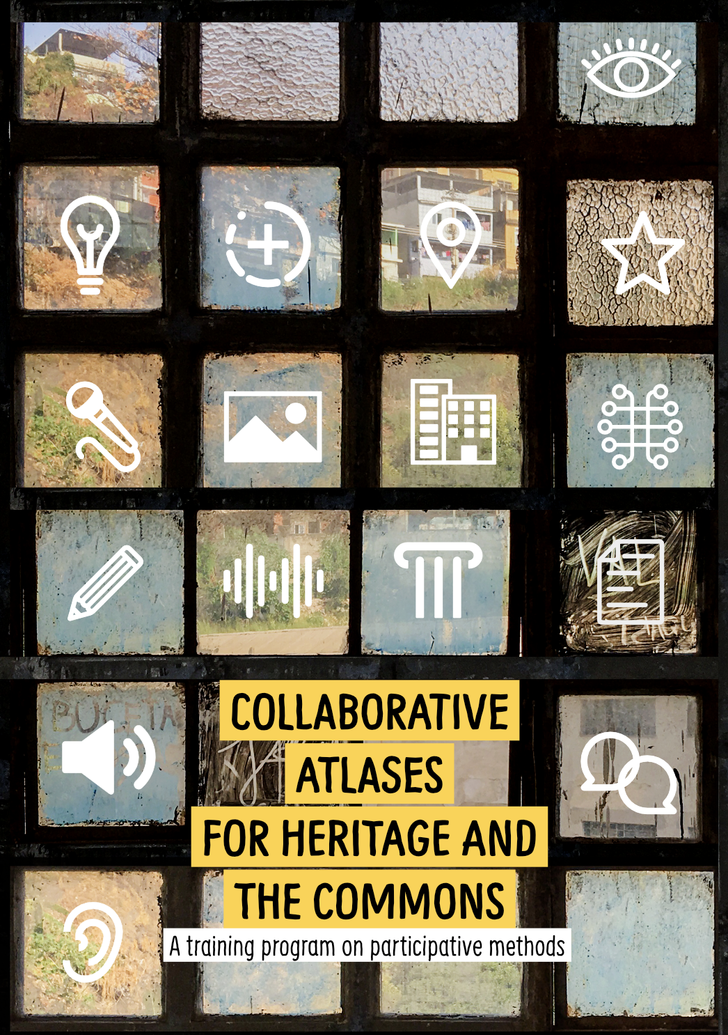
On 19 September 2020 we started a new URLab dedicated to investigate the neighbourhood of Schöneberg in Berlin. The laboratory is part of Collaborative Atlases for Heritage and the Commons, a training program on participative methods funded by the EU Erasmus+ project OpenCCCP. The overall objective of the training is to test the concept of collaborative atlases as tools for "heritage making". The first module of the training program proposes the Urban Reconnaissance methodology for setting an initial taxonomy of the observed phenomena and draw a baseline of our initial state of understanding of the spatial context investigated. As a matter of fact we chose to develop the training program on a neighbourhood of Berlin which is relatively new also to us the trainers, sharing the experience of discovering the complexity of elements that define its identity and heritage with the trainees.
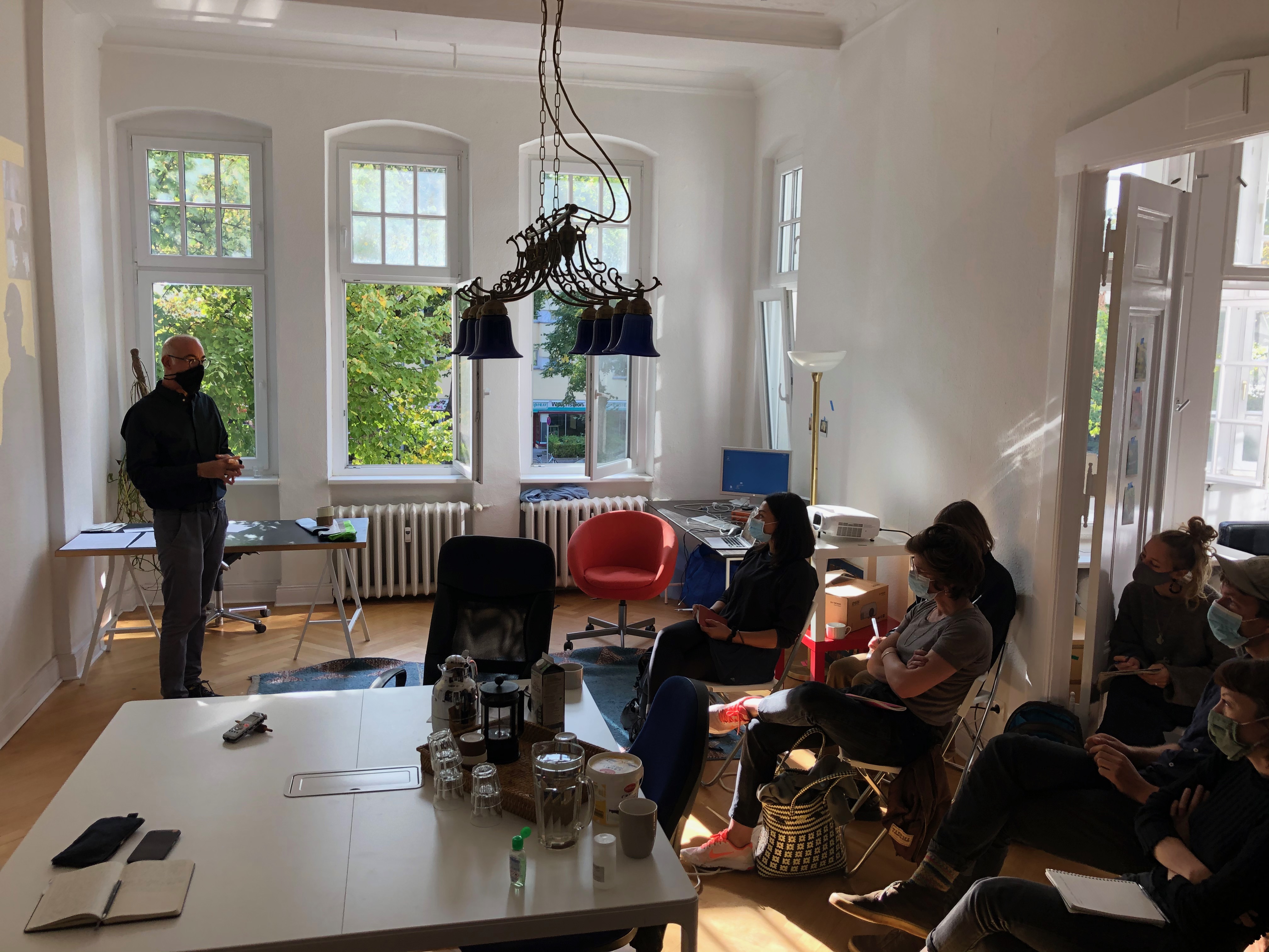
The group of 14 participants includes people with various provenience - not only German but Slovakian, Italian, British, Canadian - with backgrounds in such diverse fields as urbanism, visual anthropology, art, history, engineering, etc.
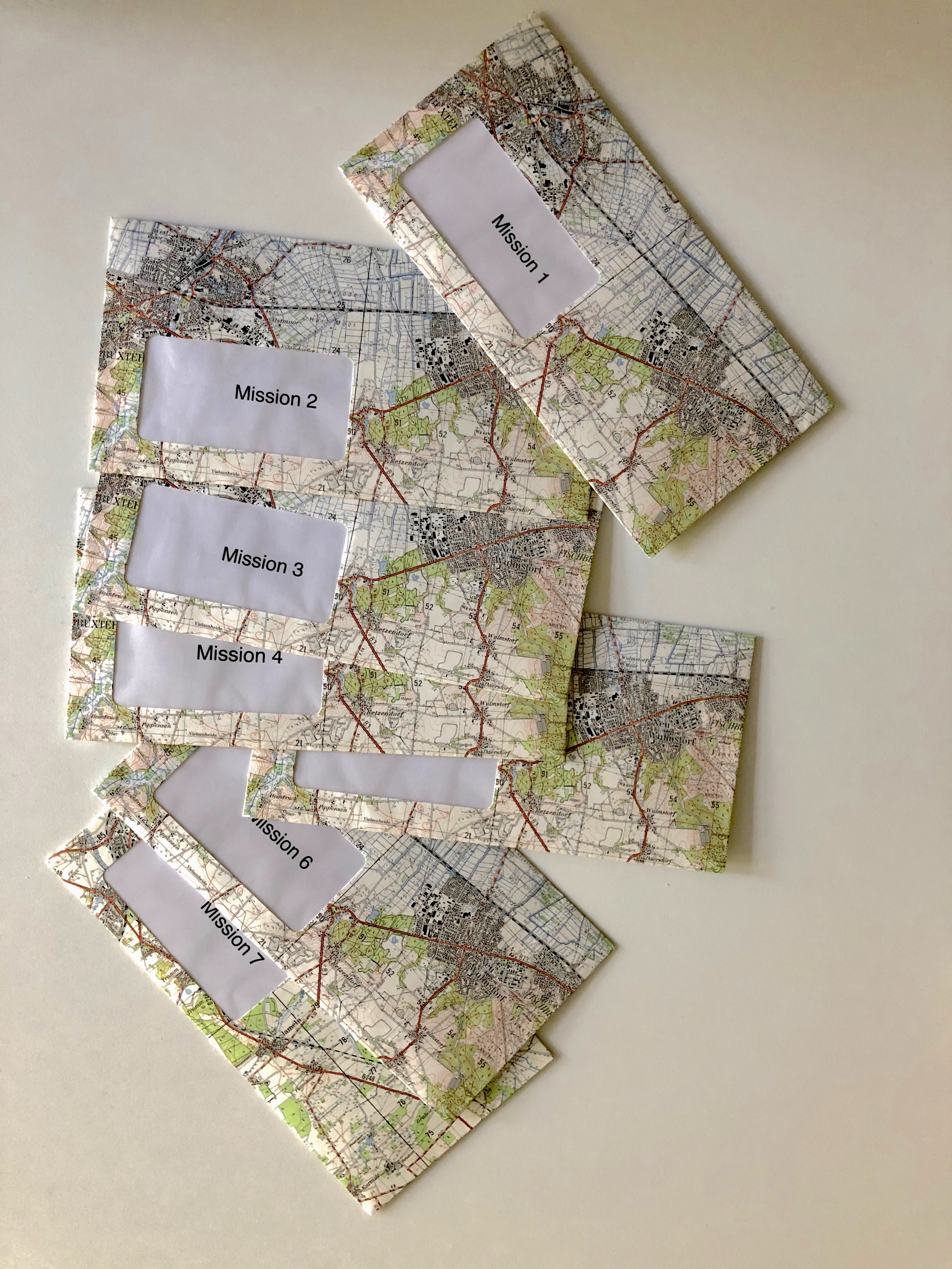
After introducing the purposes and method of the lab, we created teams of two, combining the participants with better knowledge of Berlin with the newcomers. Then we distributed envelopes containing a secret missions for each team. Each mission was inspired by a different exercise of urban reconnaissance, while their random allocation had the purpose to pull the participants out of the "comfort zone" of their typical interests and foci.
Here the list of initial assignments:
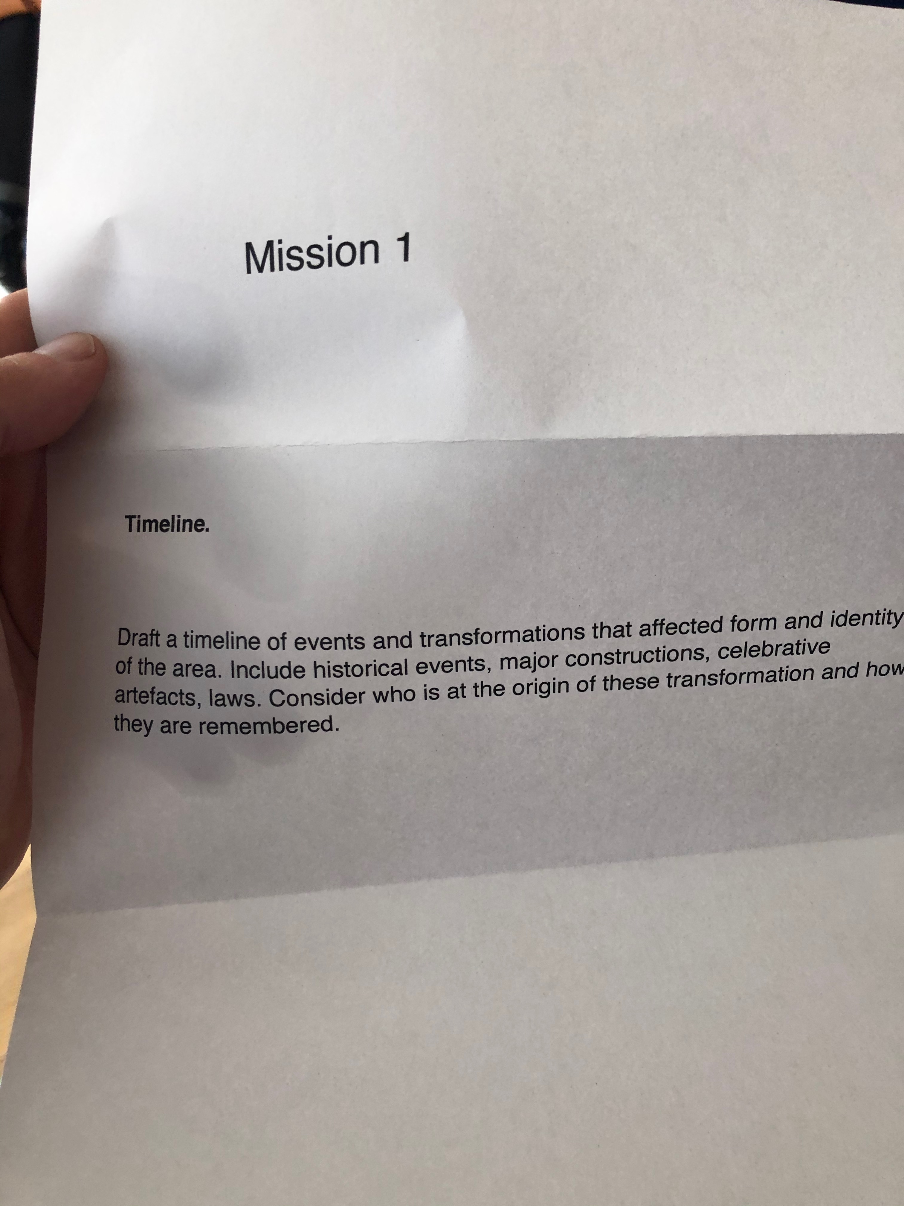
Mission 1: Timeline.
Draft a timeline of events and transformations that affected form and identity of the area. Include historical events, major constructions, celebrative artefacts, laws. Consider who is at the origin of these transformation and how they are remembered.
Mission 2: Borders
Identify administrative, morphological and psychological edges that define the neighbourhood as such, and check for other subdivisions, vicinities, and local identities that compose it.
Mission 3: Conflicts
Explore the neighbourhood looking for signs of conflicts and map the different forms in which they manifest: diverging interests, economic competition, social antagonism, counter-narratives, vandalism, clashing uses etc. Check which past conflicts left traces in the urban space and what appear as current controversies now.
Mission 4: Names
Investigate names given to places and streets or recorded in monuments: how when and by whom were they assigned? Which memories and culture they represent, how are they related with present life and culture? How names are related with colonial practices and / or post-colonial thinking?
Mission 5: Culture
Map forms of cultural expression or identities you find in the area: are there institutions, monuments, practices? Compare dominant / official culture vs subcultural expressions and minority or ethnic cultural practices. Are there material artefacts or intangible practices and languages? Reflect on their specific attachment to / relation with the local territory.
Mission 6: Playground
Investigate the neighbourhood as a pedagogic field, a place for learning and growing. Which are the spaces, structures and learning practices that are available to or appropriated by children and youth? How are these specialised or segregated rather than integrated in urban (public) spaces? What kind of imprint and learnings they transmit to the users?
Mission 7: Gender and diversity
Roam the neighbourhood investigating how the aspects of gender and diversity are inscribed the the urban space. Can you find evidently gendered spaces? Are there spaces or structures dedicated to particular social categories? Can you find traces of issues with diversity and social inclusion? Is there a feeling of tolerance and safety towards sensitive categories (LGBT, migrants, minorities?)
Mission 8: Commons
Map common goods and resources that are managed as such in the neighbourhood. Reflect on the difference with public spaces and privately owned spaces available for public use.
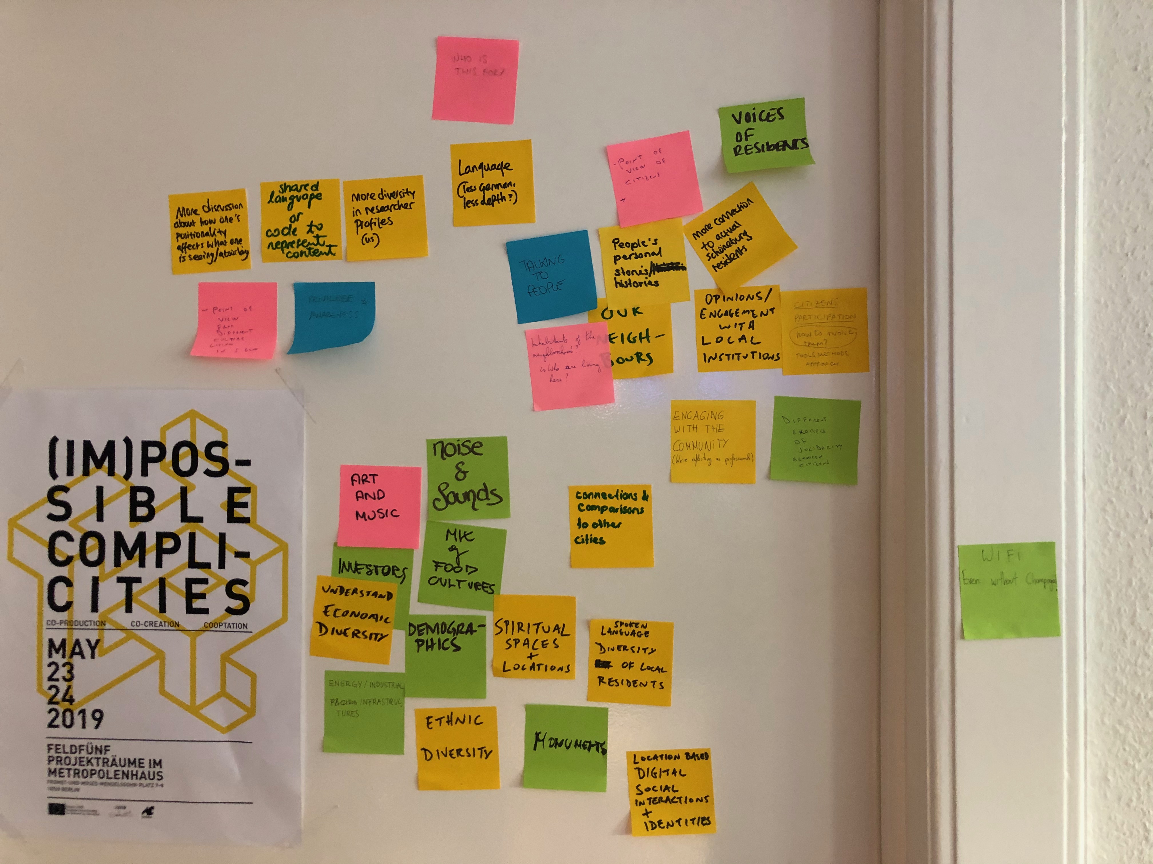
After that participants went out exploring the neighbourhood for their mission and came back to the office for the final wrap up of the day, exchanging and discussing the first impressions on Schoeneberg. For the next meeting the assignment was to further develop their observation in a personal project. The participant were set free to continue focusing strictly on the "mission" assigned, or to move forward to a specific theme they are interested to develop connected with the general objectives of the laboratory.
On Friday the 25th we started with a round of presentations about the findings made by the participants during the week.
First Arthur and Francesco presented their interpretation of the Hauptstrasse as a timeline connecting in spatial form the major events defining the transformation of this area. They decided to focus on the Hauptstraße - from U-Bahnhof Innsbrucker Platz to U-Bahnhof Kleistpark - in order to create a timeline of events that influence the street as we know it today.
(...to be continued...)